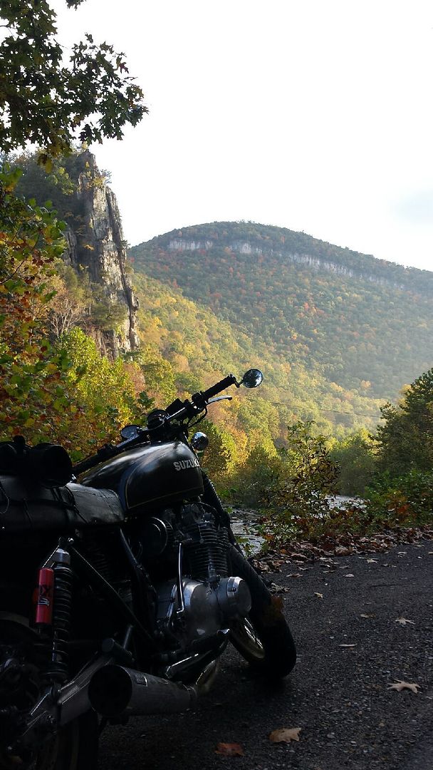
(Eagle Rock/Smoke Hole Canyon WV)
If coming from the northeastern seaboard, I'd recommend aiming towards Harrisonburg, VA and take US33 over the WV Shenandoah Mtn ridgetop border (one of the absolute best stretches of road in the East Harrisonburg to Harman WV). Ride through the valley and up thru Smoke Hole Canyon (campgrounds there or AMAZING North Fork Mtn ridgetop backcountry camp spot if u ask me where).
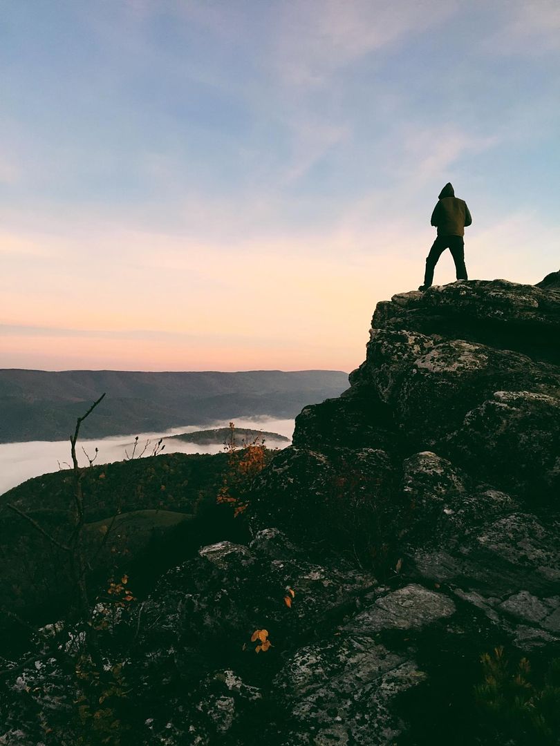
(best backcountry camp spot ever, me on the ridge - October Sunrise to my back - North Fork Mtn ridgetop backcountry trail)
Or continue thru Smoke Hole then hang a left on 55 (?) & pass down by Seneca Rocks (mandatory stop) where there is also Seneca Shadows campground.
Then either head deeper into WV for the full experience (west of the NE mtns, the entire state is rugged Appalachian hills loaded full of amazing twisty road routes), or double back on US33 over North Fork Mtn and then catch Sugar Grove Rd south near Brandywine down to Reddish Knob Rd up the mountain the very twisty slow scenic route to Reddish Knob Spur Rd lookout (make sure to GPS this, easy to mis the bike path width turnoff road to the peak)
(Reddish Knob - very remote lookout)
Then down the other side of the mountain ridge on the more tame Briery Branch Rd (or Briery Gap Rd? One is the way to the Spruce Knob lookout by Seneca Rocks, other is Virginia side of the Reddish Knob area).
(Spruce knob, WV)
Then down south a short distance and catch US250 over the same mountain ridge west (3rd time is way more than a charm, this is a very thrilling long mountain ridge to explore!).
(view over the River Knobs toward Dolly Sods from North Fork Mtn WV)
From there I'd take 250 to 219 for another great but slightly less technical thrilling mountain scenic ride. Then head west and pick up WV-16 south of Beckley. If you come in North of Beckley to 16, you can take 20 (?) over the New River Gorge bridge, which is something like a mile long and 980 feet tall, world famous. WV16 aside from the valley area in Beckley is an amazing ride from the Ohio border all the way to the VA border... I have another GREAT lesser traveled secret camp spot along the bottom of the New River Gorge if you email me.
South of Beckley, WV16 is great twisties all the way. Then once into VA, it turns into VA-16. Then you can catch the Back of the Dragon section of 16 over 3 small/medium mountains and 2 valleys, an AMAZING ride.
From the bottom of that at Hungry Mother State Park / Marion VA, Take the route along the base of the mountain west and then cut south to Whitetop Rd and to to the Whitetop Mtn lookout or if you have plenty of time, Mt Rogers nearby. Then stop in at Bearclaw Holler Biker Rest Stop for free camping and excellent hospitality - look them up.
Then follow the mountains west then SW on US58 "The Mighty Python" to Damascus, then pick one of 2 great options southwest following the mountains through endless state and national forests toward the Asheville area. Lots of exploring to do between there and Asheville NC, where I would recommend spending a good bit of time


US276 & NC215 criss cross each other over/near the Blue Ridge Parkway, both are AMAZING tight mountain riding roads with excellent roadside waterfalls and dozens of hikes to spectacular waterfalls... and then there's the Blue Ridge Parkway... the BRP for an hour north of Asheville and Asheville south to Maggie Valley is the best section by far. No tight curves but nonstop ridgetop sweepers that can be all navigated at the 45 mph speed limit. Endless curves and scenic views... south of there is the US129 Deals Gap Tail of the Dragon area and the Moonshiner28, but beyond that is extremely far from my Ohio home so I can't be of much use at this point giving you the highlights of that area. South of Damascus, there is a lot of excellent riding as well, I'd have to look at a map to give you more leads.
Hopefully you or others can use this information as part of your adventures - this highlights THE finest riding area(s) in Eastern North America. Enjoy!