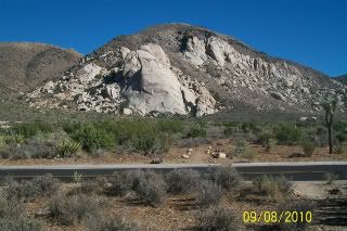
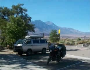
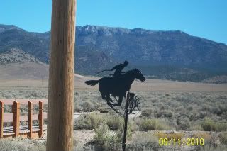
Ok, to start with, here are some pictures on HWY 395 with Mt Whitney and the rest of the eastern Sierra Nevada range in the background. I neglected to take as many pictures as I should have on this leg of the trip, the story why will follow......
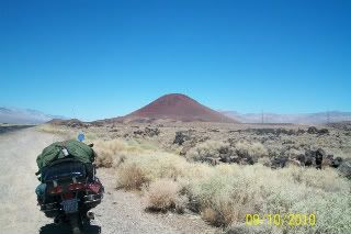
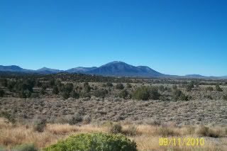
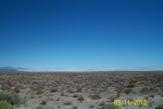
Looking north, lava fields to the right, cone shaped hill is all lava covered with red dirt.
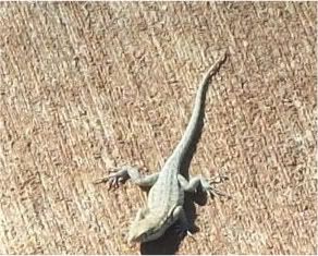
cute little critter I found in the rest area just south of Big Pine.
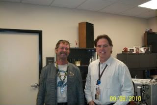
The guy cleaning the rest area had to tell me about his '85 850G he had when he was younger and stupider. He crashed it hard two blocks from home (Orange County) and had to be airlifted out. His whole left side is scar tissue from that. High speed, drugs and alcohol were all contributing factors.
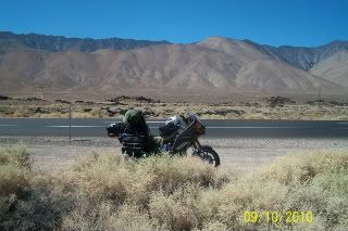
Unfortunately, I was trying to make some time on this leg and didn't take pictures as I should've. From 395 I turned northeast on National route 6 which stretches from just north of Bishop, CA to some town in Massachusetts. They had a sign proclaiming that as well, and I didn't take that picture either. My intent was to take 6 to Ely, NV and probably overnight there. I left Tonopah (8 pm), headed north and discovered the town I thought would be in the middle and have fuel was no more, as there was a sign warning of no fuel for 163 miles, the entire length to Ely. It was now very dark, the area around Tonopah is reknowned for it's lack of light pollution. It's the only area in the US like it, the stars are so bright it seems like you're almost among them. Elevation ranges from 6,000 ft to a high on the summits that the road traverses to about 8,000 ft. I rode back the 14 miles to Tonopah to sit beneath a street light and plan my strategy. This is where I screwed up. I should've (could've, would've if I'd been smart) just got a motel room there and called it a night. But noooooo, I figured I could get one up the road, as 376 going north to Hwy 50 (the Loneliest Road in America....) looked promising.
The Loneliest Road in America
State: Nevada
Length: 287.0 mi / 461.9 km
Time to Allow: Plan for 5 to 6 hours to tour this byway.
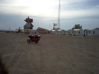
My GPS showed three operating motels 12 miles west of 376, which seemed reasonable at the time, and operating gas stations. I topped off my tank in a real little town called Hadley, it was dark and cold, I put on part of my cold weather gear, and thought I'd be fine. I was sharing the road with drunks from two taverns on the route, I thought one of them had come back to hassle me, but there must have been another bar to visit on the road. I got to the intersection of 376 and 50, turned left, and discovered a twisty windy summit road that would've been fun unloaded and in the daytime (I'd imagine RenoBruce has played here, it's in his backyard). I rode up it with a truck behind me and one in front, so it took awhile to cover the 12 miles. I got into town dead tired, and all the no vacancy signs were lit up. Now, I really didn't want to travel the 60+ miles to check out the town of Eureka either so I talked to a lady in a gas station there and she said I could bed down in the storage lot next door. It was very uncomfortable, and I think the rocky ground did in my air mattress.............
More to come tomorrow,,,,,,,,,,,,,,,,,,,,,,,,,


")